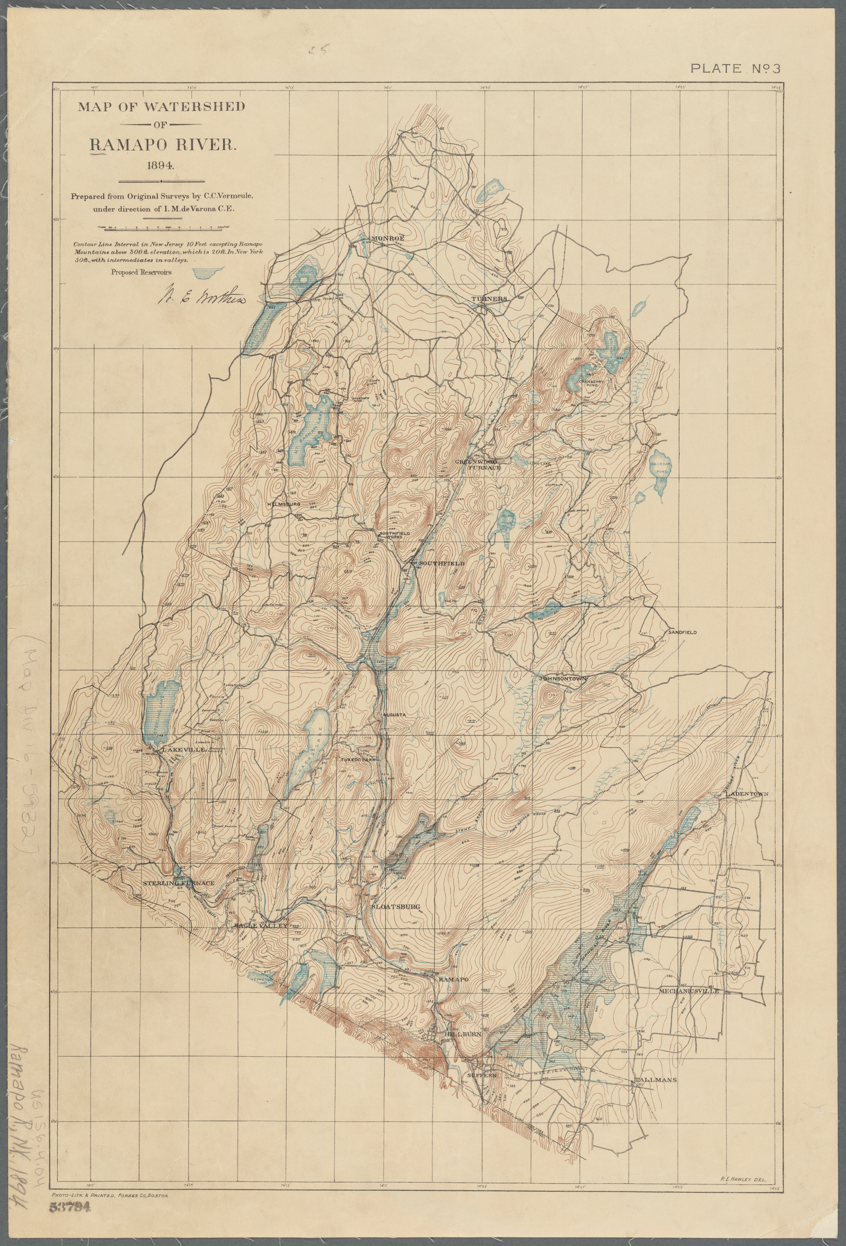
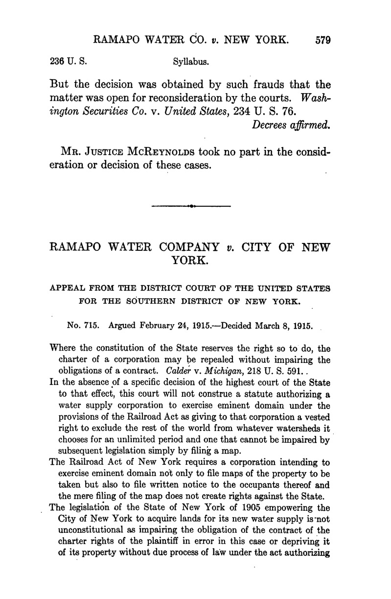
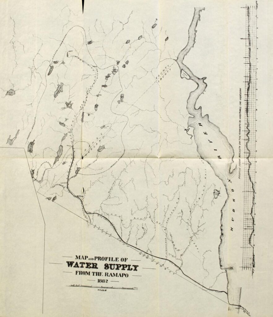
Ramapo
As New York City looked to expand its water supply beyond the Croton Dam, both public and private sectors stymied the city’s ability to gain access to drinking water. The most egregious was likely the private Ramapo Water Company (likely named after the town in Rockland County, which was named after the Ramapough Lenape Nation meaning “sweet water” or “slanting rocks”), who attempted to gain control of the Catskill watershed in anticipation of the city’s needs. In 1895, the State’s Legislature granted Ramapo land and water rights in the Catskills. Under Ramapo’s control, the city would lose control over the design and cost of the city’s water supply. Furthermore, it was publicly disclosed that privatization would result in an annual municipal deficit and almost triple water costs to the city. Under pressure from the City Merchants Association and the City Comptroller, the State Legislature repealed its decision in 1901.
![A map on faded yellow paper of the Ramapo River Watershed. The area is isolated from its surroundings. Bodies of water are colored blue. The area is rich in topographic lines which indicate hills, mountains, and valleys.](http://public-water.com/wp-content/uploads/2020/12/Map_of_Watershed_Ramapo_River_1894_NYPL-696x1024.jpg)
![A stereographic image (two squares with the same photo placed-side-by-side intended to be viewed through a special viewer for a 3Dimensional effect) of a black and white landscape with a mountain in the background and a shallow river in the foreground. A cow is crossing the river.](http://public-water.com/wp-content/uploads/2020/12/Dam_at_Ramapo_Stereograph_NYPL.jpg)
![A stereographic image (two squares with the same photo placed-side-by-side intended to be viewed through a special viewer for a 3Dimensional effect) of a black and white landscape featuring a riverbank with a tree in the foreground. There are two canoes banked on the edge of the water.](http://public-water.com/wp-content/uploads/2020/12/View_at_the_Village_of_Ramapo_NYPL.jpg)
![A page from a Supreme Court case featuring black text on a white background.](http://public-water.com/wp-content/uploads/2020/12/Ramapo_Water_Co_v_New_York_1915_LOC-669x1024.jpg)
![A page from a report of a plan for supplementing the Croton water supply to the City of New York from the Ramapo District by William J. McAlpine. Published in 1882.](http://public-water.com/wp-content/uploads/2020/12/Report_of_Plan_Water_Supply_Supplement_Ramapo_District_1882_Report_Letter_1-603x1024.jpg)
![A page from a report of a plan for supplementing the Croton water supply to the City of New York from the Ramapo District by William J. McAlpine. Published in 1882.](http://public-water.com/wp-content/uploads/2020/12/Report_of_Plan_Water_Supply_Supplement_Ramapo_District_1882_Report_Letter_2-611x1024.jpg)
![A map made with black ink on white paper. The text reads "Map and Profile of Water Supply from the Ramapo, 1882". There is a land mass and bodies of water and streams on that dominate the map, with the Hudson River on the right, spanning top to bottom. there is a profile of elevation on the right of the map.](http://public-water.com/wp-content/uploads/2020/12/Report_of_Plan_Water_Supply_Supplement_Ramapo_District_1882_Report_Map-882x1024.jpg)