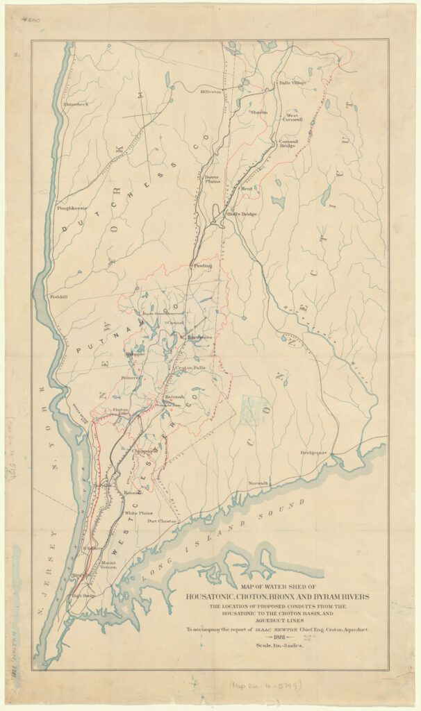
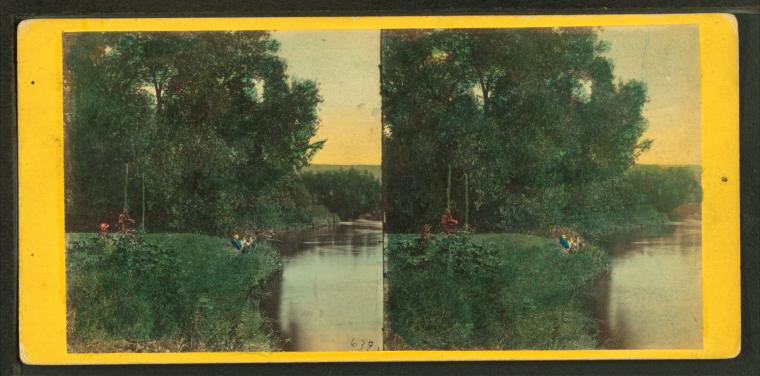
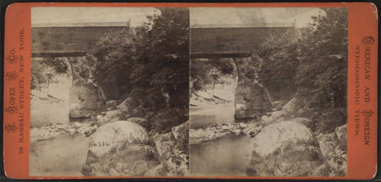
From the Housatonic to the Hudson – Two Plans Subsequently Scrapped
Populations, politics and hydrology shaped New York City’s drinking water. As the city was searching for more water sources in the early 1900s, the ten mile Housatonic watershed (much of which was in Connecticut) was identified as the most promising water source for the city. By 1903 however, legal precedent had established the practical impossibility of tapping interstate waters. That year, an engineering report was completed with a recommendation for the city to develop two new watersheds, one east of the Hudson River in Dutchess County (because of its quick three year build-out timeline), and the longer term Catskill Mountains watershed. Its lacustrine marshes, stagnant pools and rushing spates would later be broken up into the Catskill and Delaware watersheds. The Hudson River was one of New York City’s top options for drinking water because it didn’t cross state lines, even though Albany and Poughkeepsie depended on it for drinking water and it was polluted further downstream. What kept it from being developed, however, may have been its perception: would a city with such tremendous political power not be able to access the cleanest water for its residents?
The Housatonic Clean Up
Toxic PCB (Polychlorinated biphenyls) buildups from long term chemical discharge by companies like GE have severely contaminated the Housatonic and Hudson watersheds. Both water bodies have undergone long-term government ordered clean ups.
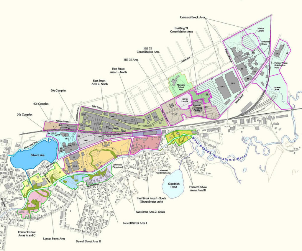
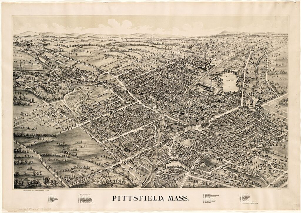
Since the early 1900s, GE operated a large-scale industrial facility including the manufacturing and servicing of power transformers, defense and aerospace (ordnance) and plastics, and used numerous industrial chemicals at its Pittsfield facility. From 1932 through 1977, General Electric manufactured and serviced electrical transformers containing PCBs. Years of PCB and industrial chemical use, and improper disposal, led to extensive contamination around Pittsfield, MA as well as down the entire length of the Housatonic River. Upon learning of the chemical’s ability to harm wildlife and human health, EPA banned the production of PCBs in 1979. The cleanup areas in Pittsfield join numerous PCB sites throughout the country in size and clean up challenges.
—US Environmental Protection Agency. Link.
What would have happened to these watersheds and watershed communities if they had become sources of the NYC water supply? Would we have spent the last 50 years seeking clean water, possibly leading them to the same watersheds now in use? Would they have become this polluted if they had been claimed by the City? There are no simple answers. The seizure of watershed land and resources by the NYC Department of Environmental Protection has come with many concerns and challenges for watershed residents, so we can’t assume City mandated protection would have better served the local communities.
As is revealed later in the narrative, there have been very tight restrictions on local watershed residents to prevent contamination of the NYC reservoirs and water sources upstate. It’s a complicated point of tension between upstate communities and downstate regulators. For some watershed communities, daily life is affected by restrictions protecting NYC’s water supply, while their own municipalities struggle to access clean water that is affordable and sufficient for residents.